Checked
Cambridge parks directory
Cambridge, Ontario, Canada
Find Cambridge, Ontario parks and open spaces, with individual descriptions, recorded facilities, photos where verified and Google Maps.
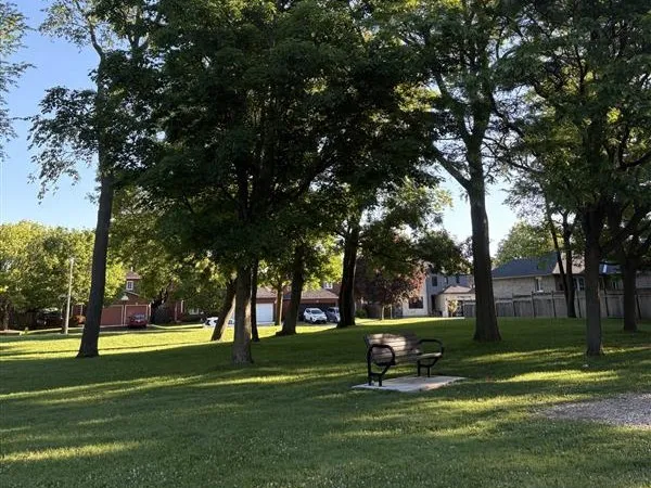
Key information
Browse 297 park and open-space sections for Cambridge. Search a name, street or recorded feature, then open that place’s map. The source scope and any missing information are explained below.
On this page
What this directory covers
| Detail | Coverage |
|---|---|
| Individual sections | 297 |
| Source scope | All 243 Cambridge municipal park land records, plus all 122 current Park visitor listings. Includes natural corridors, unnamed parcels, planned land and individual outdoor facilities. |
| Coverage limits | All entries in the stated source scope are included. This does not establish current public access. |
All 243 Cambridge municipal park land records, plus all 122 current Park visitor listings. Includes natural corridors, unnamed parcels, planned land and individual outdoor facilities.
Recorded facilities can be seasonal, closed or out of service. A blank field means not confirmed. A map point may mark park land rather than a public or accessible entrance.
Sources: Cambridge official parks GIS inventory · Cambridge official visitor park listings · Cambridge park rules · Cambridge trail rules and closures · Cambridge picnic rentals
Find a park
Search the recorded names, streets, descriptions and facilities. Each result has its own section and map links. Only the places on the current page are downloaded.
Some pins mark park land rather than an entrance. Official park pages have current visiting details.
181 to 200 of 297 places
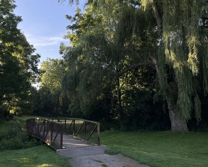
Morva Rouse Park
261 Blair Road, Cambridge, Ontario Canada
Morva Rouse Park is recorded in Cambridge’s park land inventory with status in service.
The official records list free parking, playground, seating, vista/viewing site, walking trails.
- Recorded status
- IN SERVICE
- Mapped land area
- 3.04 hectares
- Listed amenities
- Free Parking, Playground, Seating, Vista/Viewing Site, Walking Trails
- Visitor directory location
- Official facility map point
Sources: Cambridge official parks GIS inventory · Morva Rouse Park official facility details
Moss Dr Wetland
No street address in the source
Moss Dr Wetland is recorded in Cambridge’s park land inventory with status in service.
The land record does not list visitor amenities. Its land status does not confirm public access.
- Recorded status
- IN SERVICE
- Mapped land area
- 5.82 hectares
Moyer'S Blair Landing
780 Fountain Street South, Cambridge, Ontario Canada
Moyer'S Blair Landing is recorded in Cambridge’s park land inventory with status in service.
The official records list canoe/boat launch, free parking, river access, seating, vista/viewing site.
- Recorded status
- IN SERVICE
- Mapped land area
- 2.67 hectares
- Listed amenities
- Canoe/Boat Launch, Free Parking, River Access, Seating, Vista/Viewing Site
- Visitor directory location
- Official facility map point
Sources: Cambridge official parks GIS inventory · Moyer'S Blair Landing official facility details
Myers Rd Wetland
No street address in the source
Myers Rd Wetland is recorded in Cambridge’s park land inventory with status in service.
The land record does not list visitor amenities. Its land status does not confirm public access.
- Recorded status
- IN SERVICE
- Mapped land area
- 0.94 hectares
Northview Heights Lookout
821 Elgin Street, Cambridge, Ontario Canada
Northview Heights Lookout is recorded in Cambridge’s park land inventory.
The official records list seating, vista/viewing site.
- Recorded status
- Not recorded
- Listed amenities
- Seating, Vista/Viewing Site
- Visitor directory location
- Official facility map point
Sources: Cambridge official parks GIS inventory · Northview Heights Lookout official facility details
Northview Heights Lookout Park
No street address in the source
Northview Heights Lookout Park is recorded in Cambridge’s park land inventory with status in service.
The land record does not list visitor amenities. Its land status does not confirm public access.
- Recorded status
- IN SERVICE
- Mapped land area
- 6.62 hectares
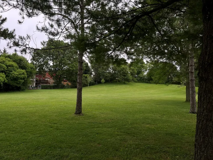
Otto Klotz Park
287 Garden Street, Cambridge, Ontario Canada
Otto Klotz Park is recorded in Cambridge’s park land inventory with status in service.
The official records list free parking, picnic tables, playground, seating.
- Recorded status
- IN SERVICE
- Mapped land area
- 1.91 hectares
- Listed amenities
- Free Parking, Picnic Tables, Playground, Seating
- Visitor directory location
- Official facility map point
Sources: Cambridge official parks GIS inventory · Otto Klotz Park official facility details
Paris Trail Access Point
No street address in the source
Paris Trail Access Point is recorded in Cambridge’s park land inventory with status in service.
The land record does not list visitor amenities. Its land status does not confirm public access.
- Recorded status
- IN SERVICE
- Mapped land area
- 0.37 hectares
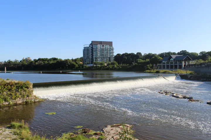
Parkhill Dam Lookout
Park Hill Rd., Cambridge, Ontario Canada
Parkhill Dam Lookout is recorded in Cambridge’s park land inventory.
The official records list historic plaque/monument, vista/viewing site.
- Recorded status
- Not recorded
- Listed amenities
- Historic Plaque/Monument, Vista/Viewing Site
- Visitor directory location
- Official facility map point
Sources: Cambridge official parks GIS inventory · Parkhill Dam Lookout official facility details
Parkhill Road Lookout
No street address in the source
Parkhill Road Lookout is recorded in Cambridge’s park land inventory with status in service.
The land record does not list visitor amenities. Its land status does not confirm public access.
- Recorded status
- IN SERVICE
- Mapped land area
- 0.18 hectares
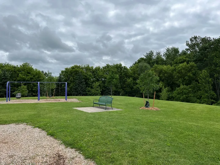
Paul Peters Park
255 McNichol Dr., Cambridge, Ontario Canada
Paul Peters Park is recorded in Cambridge’s park land inventory with status in service.
The official records list historic plaque/monument, playground, seating, walking trails.
- Recorded status
- IN SERVICE
- Mapped land area
- 1.55 hectares
- Listed amenities
- Historic Plaque/Monument, Playground, Seating, Walking Trails
- Visitor directory location
- Official facility map point
Sources: Cambridge official parks GIS inventory · Paul Peters Park official facility details
Perbeck Park
No street address in the source
Perbeck Park is recorded in Cambridge’s park land inventory with status in service.
The land record does not list visitor amenities. Its land status does not confirm public access.
- Recorded status
- IN SERVICE
- Mapped land area
- 0.71 hectares
Percy Hill
No street address in the source
Percy Hill is recorded in Cambridge’s park land inventory with status in service.
The land record does not list visitor amenities. Its land status does not confirm public access.
- Recorded status
- IN SERVICE
- Mapped land area
- 2.30 hectares
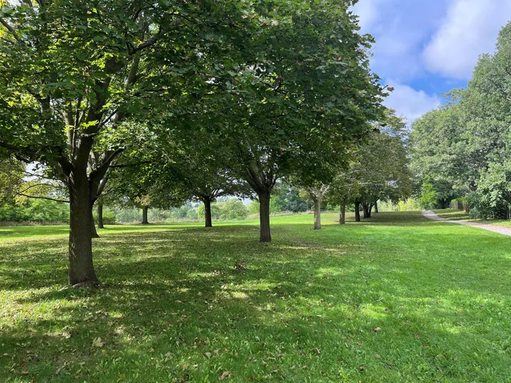
Percy Hill Park
125 Champlain Boulevard, Cambridge, Ontario Canada
Percy Hill Park is recorded in Cambridge’s park land inventory.
The official records list free parking, indoor basketball court, nature area, seating.
- Recorded status
- Not recorded
- Listed amenities
- Free Parking, Indoor Basketball Court, Nature Area, Seating
- Visitor directory location
- Official facility map point
Sources: Cambridge official parks GIS inventory · Percy Hill Park official facility details
Pinebush To Bishop Drain
No street address in the source
Pinebush To Bishop Drain is recorded in Cambridge’s park land inventory with status in service.
The land record does not list visitor amenities. Its land status does not confirm public access.
- Recorded status
- IN SERVICE
- Mapped land area
- 2.16 hectares
Portugese Monument
No street address in the source
Portugese Monument is recorded in Cambridge’s park land inventory with status in service.
The land record does not list visitor amenities. Its land status does not confirm public access.
- Recorded status
- IN SERVICE
- Mapped land area
- 0.02 hectares
Portuguese Swamp
No street address in the source
Portuguese Swamp is recorded in Cambridge’s park land inventory with status in service.
The land record does not list visitor amenities. Its land status does not confirm public access.
- Recorded status
- IN SERVICE
- Mapped land area
- 43.08 hectares
Preston Lawn Bowling Club
No street address in the source
Preston Lawn Bowling Club is recorded in Cambridge’s park land inventory with status in service.
The land record does not list visitor amenities. Its land status does not confirm public access.
- Recorded status
- IN SERVICE
- Mapped land area
- 0.21 hectares
Property 3 Blenheim Rd
No street address in the source
Property 3 Blenheim Rd is recorded in Cambridge’s park land inventory with status in service.
The land record does not list visitor amenities. Its land status does not confirm public access.
- Recorded status
- IN SERVICE
- Mapped land area
- 2.90 hectares
Property 4 Salisbury Ave
No street address in the source
Property 4 Salisbury Ave is recorded in Cambridge’s park land inventory with status in service.
The land record does not list visitor amenities. Its land status does not confirm public access.
- Recorded status
- IN SERVICE
- Mapped land area
- 2.65 hectares
Planning your park visit
Which parks and green spaces does this directory include?
All 243 Cambridge municipal park land records, plus all 122 current Park visitor listings. Includes natural corridors, unnamed parcels, planned land and individual outdoor facilities.
How do I find a park near my home?
Find a name or address in the comparison table. Each place section has its own map and directions link. Unnamed land records use their source ID instead of an invented name.
What hours are Cambridge parks closed?
City parks close from 11 p.m. to 7 a.m. Specific facilities can have shorter hours. Follow the facility listing and signs.
Source: Cambridge park rules
Do I need to book a sports field or picnic shelter?
Yes. Organized play on city sports fields and picnic shelter use require bookings. Both residents and visitors can book.
Source: Cambridge park rules
Can I bring a charcoal barbecue?
No. Only propane barbecues are permitted. Open fires are prohibited.
Source: Cambridge park rules
May dogs run off-leash on Cambridge trails?
No. Dogs must remain leashed on the trail system. Owners must pick up their waste.
Are natural trails cleared in winter?
No. Natural river and woodlot trails are not plowed or salted. Most hard-surfaced urban trails are winter maintained.
Can I use an electric bike or scooter on city trails?
The city prohibits electric bikes and scooters on its trails. Accessible motorized vehicles are permitted.
Can I reserve a picnic area in winter?
No. Winter use is first come, first served with restrictions. The 2026 reservable season was May 4 to October 11.
Source: Cambridge picnic rentals
Which park can I reserve for wedding photos or a ceremony?
Mill Race Park at 36 Water Street North is the city’s reservable wedding and photo park. A wedding booking does not include an officiant.
Source: Cambridge picnic rentals
Official park information
- Cambridge official parks GIS inventory
- Cambridge official visitor park listings
- Cambridge park rules
- Cambridge trail rules and closures
- Cambridge picnic rentals
Sources: Cambridge official parks GIS inventory · Cambridge official visitor park listings · Cambridge park rules · Cambridge trail rules and closures · Cambridge picnic rentals